Kolong
Open pits and water-filled excavations became a defining feature of Belitung's mining landscape. Water was used repeatedly to separate heavier cassiterite from lighter sand and clay.
History · c.1816–1942
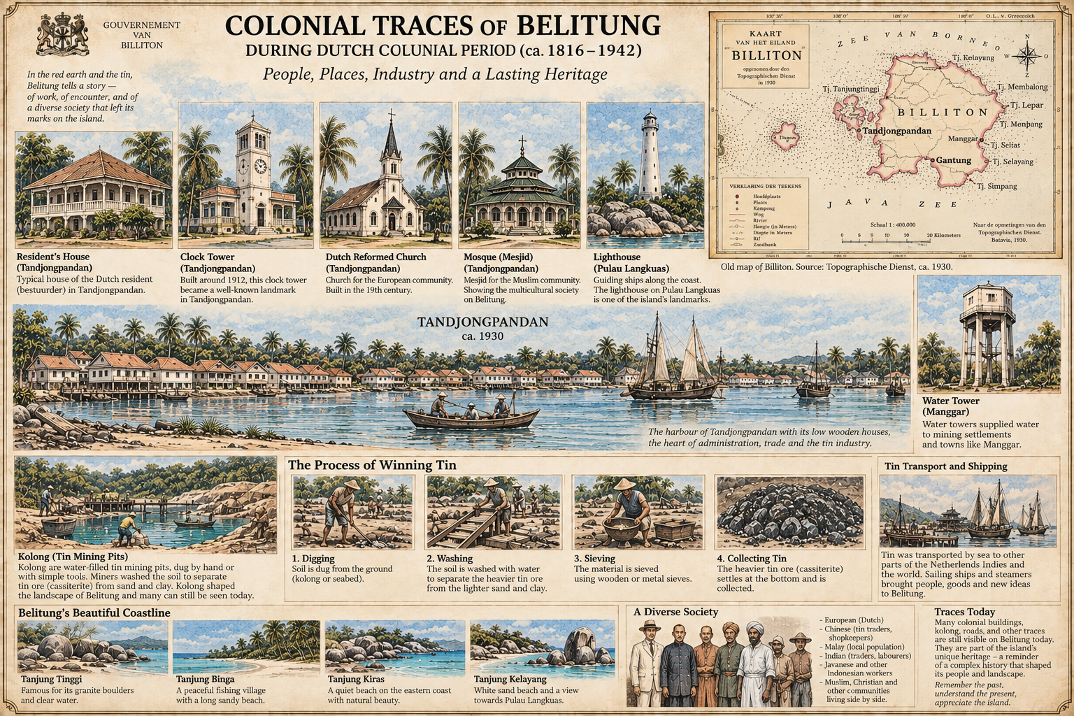
Buildings, mining technology, water engineering, roads, harbours and places of worship form part of the physical record of Belitung's colonial period. This page brings those traces together while distinguishing archival evidence from later historical reconstruction.
Overview
During the nineteenth and early twentieth centuries, tin mining became one of the strongest forces shaping Belitung's economy and landscape. The Billiton Maatschappij, founded in 1860, developed mines, settlements, transport links and technical systems that connected inland mining areas with the coast.
The surviving traces are not only industrial. Administrative buildings, houses, churches, mosques, Chinese community buildings, cemeteries and harbour settlements also reflect the people who lived and worked on the island.
Tandjong-Pandan
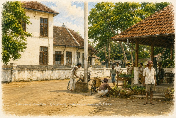
Tandjong-Pandan became the principal administrative and commercial centre of the island. Company offices, official residences, harbour facilities and social buildings grew around the town as mining expanded.
Much of the built environment remained low-rise. One-storey houses and raised wooden buildings were common, while a smaller number of more prominent structures served administrative or public functions.
Tin Mining
Open pits and water-filled excavations became a defining feature of Belitung's mining landscape. Water was used repeatedly to separate heavier cassiterite from lighter sand and clay.
Tin-bearing earth was dug, washed and sorted through increasingly organised systems. Channels, pumps and settling areas allowed water to be reused while heavier ore was collected.
Bucket dredgers represented a later, mechanised phase of extraction. Their large bucket chains excavated tin-bearing ground and fed material into onboard washing and separation systems.
Water Engineering
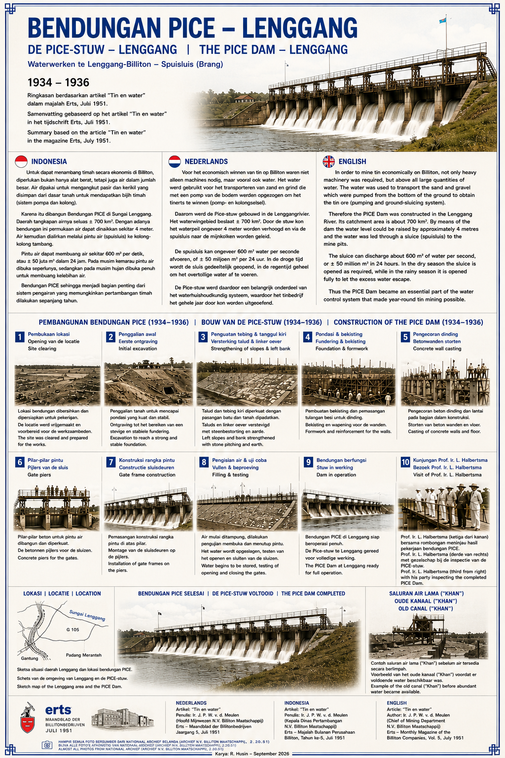
Tin mining depended heavily on water. As extraction moved toward larger mechanised operations, rivers, reservoirs, channels and drainage systems became part of a planned industrial landscape.
The PICE Dam at Lenggang, built in 1934–1936, is one of the clearest surviving examples of this engineering legacy. It helped regulate water in a mining district where dredges and washing systems required large and dependable supplies.
People & Communities
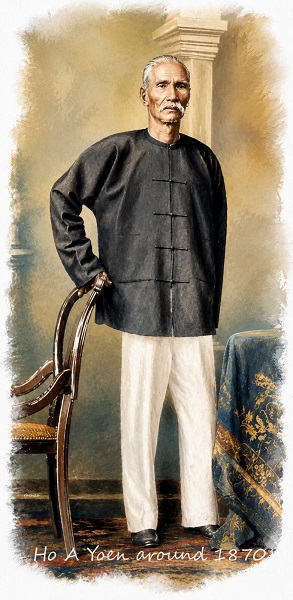
Belitung's colonial-period society included Malay communities, Chinese families and workers, Europeans, Javanese and other Indonesian workers, and Indian traders and labourers. Mining and trade brought people from different regions into the same island economy.
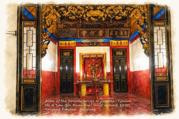
Churches, mosques, Chinese altars and temples, houses, markets and cemeteries are therefore part of the same historical landscape as mines and company buildings.
Coast & Navigation
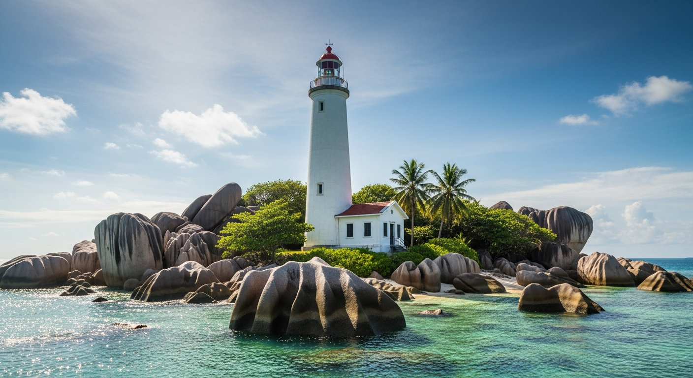
The lighthouse became an important navigational landmark off Belitung's north-western coast.
Granite formations and coastal waters form one of the island's most distinctive landscapes.
A fishing settlement whose coastal history complements Belitung's mining story.
One of several quieter coastal places that show how varied the island's shoreline remains.
Sources & Method
Original historical image with a recorded archive or collection source.
Contemporary cartographic material used to understand place names, routes and landscape.
Annual reports, government records, periodicals and other written primary sources.
An original modern illustration based on archival evidence; not presented as an original photograph.
Historical material on Simpur Talang is presented with source information whenever possible. The site avoids using photographs taken from unrelated websites. Where an original image is unavailable, a reconstruction may be used and identified as such.